
Energy & Utilities
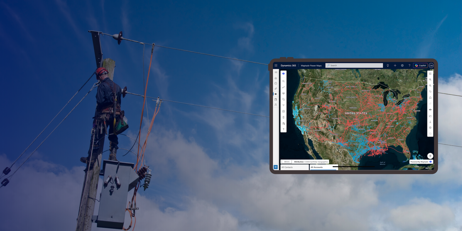
Bring location intelligence into asset management, field operations, inspections and service delivery — directly within Microsoft Power Platform and Dynamics 365.

Location is part of every operation
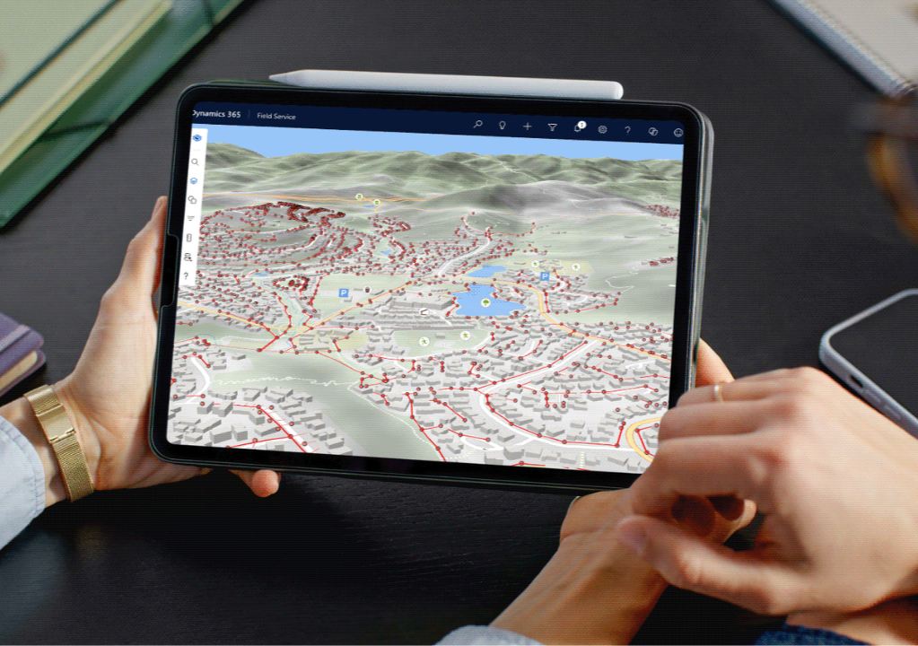
Networks extend across large geographic areas. Assets sit across substations, facilities, corridors and distributed locations, while inspections, maintenance, incidents and field work all happen somewhere specific.
Maptaskr Power Maps brings mapping and location intelligence into Microsoft Power Platform and Dynamics 365, helping energy and utility teams use spatial information within the applications and processes they already rely on.
Power Maps connects business and operational information in Dataverse with authoritative enterprise GIS and other spatial services, enabling teams to visualise, assess and act on location without separating the map from the business process.

Location intelligence for energy and utility operations.
Energy and utility organisations already manage complex processes across Dynamics 365, Power Apps and Power Pages. Power Maps adds the spatial context those processes often require. Whether managing distributed assets, coordinating field work, conducting inspections or understanding the impact of an incident, Power Maps makes location part of the operational workflow.
Asset and network operations
Energy and utility organisations manage assets across extensive networks, facilities and service areas.
Power Maps brings business and operational records together with spatial information, helping teams understand where assets are, what surrounds them and how they relate to other infrastructure and activities.
Users can access asset and location context directly within Dynamics 365 and Power Apps, while authoritative network and spatial information remains managed in the organisation’s enterprise GIS.
This makes location part of the operational process — supporting teams working with assets, maintenance activities, service requests and other location-dependent records.
Field operations and inspections
Field teams need access to the right information wherever assets, inspections and work activities are located.
Power Maps brings maps, business records and spatial information into Dynamics 365 and Power Apps, helping teams locate assets, understand their surroundings and capture information in the context of where work is being performed.
With support for mobile and offline scenarios, field teams can continue working in areas with limited connectivity while keeping location connected to the operational record.
This helps connect what happens in the field with the Microsoft processes used to manage inspections, maintenance, issues and follow-up activities.
Incidents and affected areas
When an incident occurs, understanding where it is happening and what may be affected can be critical to the response.
Power Maps helps teams combine incident and operational records with spatial information to identify nearby assets, infrastructure, properties, customers or other relevant locations.
Teams can search within or around an affected area and use the resulting records within Dynamics 365 and Power Platform workflows — connecting geographic impact with the next operational action.
This supports a range of scenarios, from assessing an outage or infrastructure issue to coordinating response activities across affected locations.
Planning and service delivery
Planned work often needs to be understood in the context of the assets, infrastructure and communities around it.
Power Maps helps teams visualise planned activities alongside enterprise spatial information, providing the location context needed to assess where work is occurring, what is nearby and what may be affected.
Teams can use spatial search to identify relevant assets, properties, customers or other records within a defined area and bring those results into Dynamics 365 and Power Platform processes.
This connects spatial planning with operational action, helping teams coordinate work and make location-informed decisions within the applications they already use.

Built for energy and utility Microsoft environments
Adding location intelligence should not mean creating another disconnected system or process.
Power Maps is deployed within the customer’s Microsoft environment, bringing mapping and spatial capabilities into Dynamics 365, Power Apps and Power Pages while working with the organisation’s existing data and security model.
It also connects with enterprise GIS platforms such as Esri ArcGIS, allowing authoritative asset, network and other spatial information to be used within Microsoft business processes without unnecessarily duplicating it.
Dataverse
Manages business and operational information.Enterprise GIS
Manages authoritative asset, network and spatial information.Power Maps
Connects spatial context with the Microsoft application experience.
Proven across energy and utilities






One solution. Different energy and utility processes.
See how Maptaskr Power Maps can bring location intelligence into your Microsoft applications and operational processes.