‘From Manual Processes to Digital Transformation.’
How Geospatial Integration is Streamlining Operations
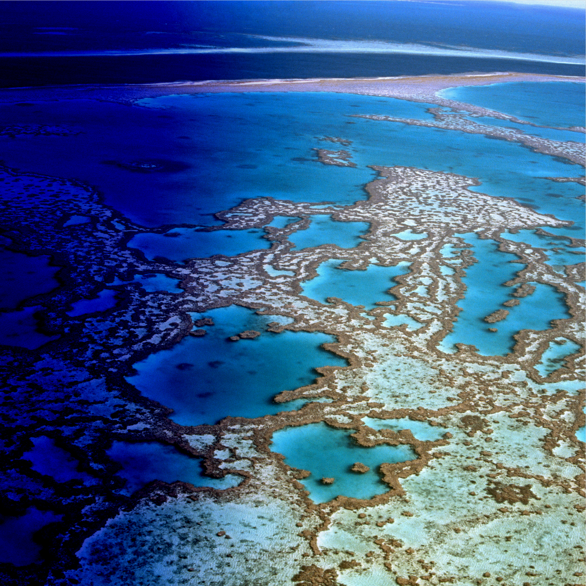
and land Management approvals.

Background
The Department of Water and Environmental Regulation (DWER) is the Western Australian Government agency responsible for managing, protecting, and ensuring the sustainable use of the state’s water and environmental resources. DWER oversees regulatory approvals, environmental assessments, water licensing, pollution control, and land-use management — functions that are critical to both environmental sustainability and economic development across Western Australia.
Each year, the department processes thousands of land use, development, and environmental applications from industry, local governments, and the community. Many of these applications involve high-value projects with complex environmental implications, including mining, infrastructure, and agricultural developments.
Historically, these processes were highly manual and dependent on paper-based systems and disconnected legacy tools, making it difficult to efficiently manage spatial data, track applications, or maintain a unified view of environmental and water resource impacts.
Challenges: Inefficiencies in Application and Assessment Processes

DWER’s legacy systems and manual workflows created significant bottlenecks in the application and assessment processes. The reliance on paper-based submissions led to duplication and cumbersome administrative workloads. Additionally, the lack of automation in geospatial analysis caused delays in evaluating land use applications, requiring staff to manually cross-reference multiple datasets.
Without a centralised platform, decision-makers struggled to access accurate and timely information, leading to slow approvals and inconsistent decision-making. These inefficiencies not only impacted regulatory timelines but also hindered the ability to respond swiftly to critical environmental concerns.
Key challenges included:
Manual submission processes:
Reliance on paper forms for application submissions created inefficiencies and increased the likelihood of errors in data entry.
Time consuming assessments:
The absence of automation in geospatial analysis led to delays in identifying high-impact land use activities.
Decision making difficulties:
Without a centralised system, assessing and approving critical applications required significant manual effort, slowing down the process.

Solution: Enhancing Operational Efficiency with GIS Integration
To address these challenges, DWER implemented Environment Online, a cutting-edge digital solution that integrates Microsoft Dynamics 365 CE, Power Apps Portals, Maptaskr Enterprise & Esri ArcGIS.
This comprehensive system automated the submission, review, and decision-making processes for land use applications while integrating advanced geospatial capabilities.
Key features of the Maptaskr solution:
Automated submission & review workflows: Digital transformation of manual application processes to reduce processing times.
Real-time geospatial mapping: Enabled accurate assessment of environmental impact using GIS-powered insights.
Centralised decision making platform: Provided a unified interface for stakeholders to track, evaluate, and approve applications efficiently.
OUTCOME
Transformational Efficiency Gains
By using Maptaskr within Microsoft Dynamics 365 and Power Pages, DWER aim to enhance efficiency, improve user engagement, and drive informed decision-making.

Insights: A Smarter Future for Environmental Regulation
DWER’s successful adoption of Maptaskr’s across Environment Online showcases the transformative power of GIS and workflow automation in government operations. By leveraging geospatial capabilities, DWER has not only improved its internal processes but has also set a benchmark for efficient, data-driven environmental regulation.
As regulatory bodies worldwide look to modernise their operations, DWER’s journey provides a compelling case study of how digital transformation can drive meaningful impact in environmental governance.
Visit Environment Online to experience how DWER uses geospatial technology to streamline approvals and enhance environmental transparency >
