Offline Base Maps & Layers
Keep mapping and data operations moving anywhere by taking your basemaps and business layers offline - with full control over coverage, detail, editing, and secure access.
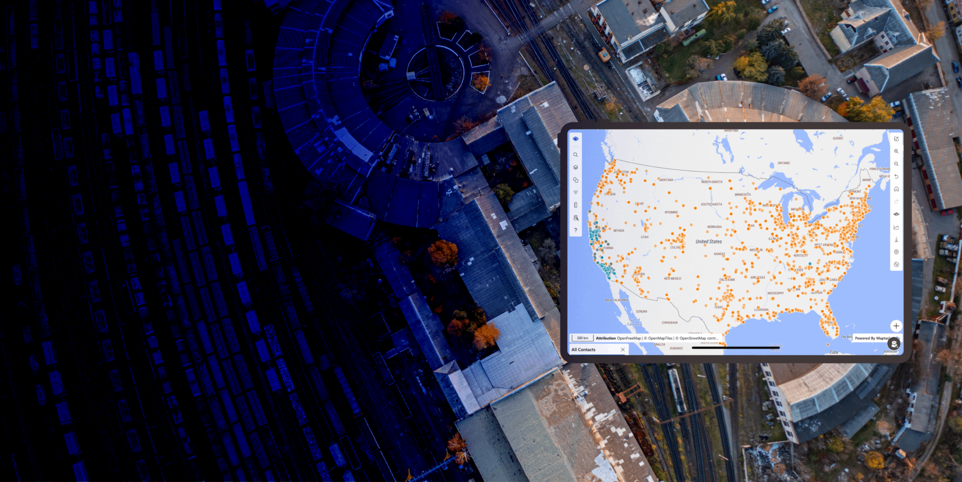
Offline Base Maps & Layers enables teams to work confidently in low-connectivity and no-connectivity environments without losing access to critical map context or business data.
With Maptaskr Power Maps, organisations can pre-package the right basemaps and operational layers for offline use, define how much data is stored, and continue capturing and updating geospatial information while disconnected. Users can still view layers, interact with map features, and perform authoring tasks as part of normal workflows in Dynamics 365 and Power Apps.
When connectivity returns, offline updates can be synchronized back to Dataverse so records and geometry stay aligned across systems. This creates a resilient field-to-office workflow that supports uninterrupted operations, better data quality, and faster decision-making in real-world conditions.
Offline delivery is designed to be configurable, secure, and scalable—so each team gets the offline map experience they need, without carrying unnecessary data.
Enforce Secure Layer Access with Cached Security Tables
Offline access can respect security rules by using cached security tables to determine which layers users are permitted to view and interact with.
This approach allows organisations to preserve governance and role-based visibility even in disconnected scenarios. Users only see authorised layers, helping maintain compliance and data protection standards while operating offline.
Control Offline Data Volume by Region and Zoom Level
Offline data can be tailored to the exact area and level of detail required. Administrators can define geographic extent and zoom-level ranges to control how much Dataverse data is taken offline.
By tuning region and zoom settings, organisations can balance map performance, storage usage, and download times while still delivering the detail users need on-site. This prevents over-caching and keeps offline packages focused, efficient, and practical for mobile and field devices.
Configure Dataverse and Enterprise GIS Layers for Offline Use
Administrators can configure both Dataverse-backed layers and Enterprise GIS layers to be available offline, ensuring users have access to the datasets they rely on most.
This flexibility allows organisations to combine internal business layers with external map services in a single offline package. Teams can standardize what is available in the field while still supporting different operational scenarios by role, region, or process.
Take Basemaps Offline for True Field-Ready Mapping
Basemaps can be downloaded for offline use so users always retain geographic context, navigation cues, and spatial orientation even when internet access is unavailable.
This ensures the map remains usable in remote areas, underground environments, or temporary outage conditions. Offline basemap support helps teams maintain confidence and productivity in mission-critical operations where connectivity cannot be guaranteed.
Work Offline with Full Authoring and Sync When Reconnected
Users can continue working with map data while offline, including actions such as drawing and updating shapes, capturing attributes, and progressing tasks as though they were connected.
Changes are stored locally and queued for synchronisation. Once a network connection is available, updates can be synced back to Dataverse so edits made in the field are reflected in central systems without manual re-entry
-
Offline Mapping Without Compromise
Take basemaps, Dataverse layers, and Enterprise GIS layers offline so teams can keep working wherever they are.
-
Right Data, Right Detail, Right Device
Control offline scope by region and zoom level to optimise performance, storage, and field usability.
-
Secure, Sync-Ready Field Operations
Capture edits and geometry offline, enforce cached layer security, and sync everything back when connectivity returns.

Want to see how your teams can keep mapping, editing, and securely accessing the right data even when they are fully offline?